Unlocking the Power of Geospatial Insights: An In-Depth Guide to Mastering ConnectionMap Technology
Geospatial data processing has gradually become an integral component of business intelligence in a growing number of industries. This data, encompassing physical maps, digital imagery, and geographic information, allows for a deeper understanding of locations, pathways, and spatial relationships. Within this domain, one tool that stands out among the rest is ConnectionMap. A cutting-edge software solution, it is designed for professionals who aim to navigate the sophisticated world of geospatial analysis and enhance their decision-making with powerful insights. In this article, we will explore the functionalities and applications of ConnectionMap, enabling readers to harness the power of geospatial insights.
### What is ConnectionMap?
ConnectionMap is a powerful geospatial analytics tool that empowers businesses to analyze and extract insights from spatial data. It facilitates the visualization, management, and integration of geospatial data to drive strategic decisions, optimize operations, and enhance customer experiences. With its advanced algorithms and user-friendly interface, ConnectionMap offers a solution that is adaptable to various industry sectors that rely on geographic information, such as logistics, urban planning, transportation, and real estate.
### Key Features of ConnectionMap
#### **Real-time Spatial Data Analysis**: ConnectionMap enables users to analyze data in real time, providing real-time insights into changes in the physical world. This instant access to information is invaluable for businesses that need to make immediate decisions based on evolving conditions.
#### **Integrated Platform**: The software operates on a single, unified platform, seamlessly integrating data from various sources to provide a holistic view of spatial information. This integration ensures that users can collaborate efficiently and access comprehensive data for their decision-making processes.
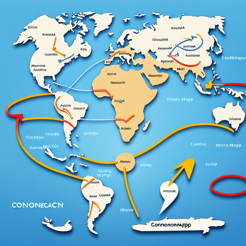
#### **Intuitive Visualization Tools**: With ConnectionMap, users can visualize complex geospatial data through easy-to-understand maps, charts, and graphs. These visuals help to clarify trends, patterns, and outliers, making it easier to interpret data and communicate findings to stakeholders.
#### **Customized Solutions**: The platform allows for customization to meet specific business needs, from tailored data analysis to personalized reporting options. Users can adjust settings and parameters to suit their unique projects and objectives.
#### **Advanced Analytics Capabilities**: ConnectionMap leverages sophisticated algorithms to facilitate complex analyses, including predictive modeling, spatial clustering, and network analysis. These tools help in forecasting future trends, optimizing routes, or identifying areas for potential new services.
### Applications and Industries
The versatile nature of ConnectionMap makes it applicable across a multitude of sectors. Here are some examples of how it can be utilized:
– **Logistics and Supply Chain Management**: In transportation and logistics, ConnectionMap enables companies to optimize delivery routes, manage inventory more efficiently, and reduce costs by leveraging insights into travel times, traffic patterns, and geographical constraints.
– **Real Estate and Urban Planning**: For real estate developers and urban planners, ConnectionMap provides valuable information on property values, potential investment areas, and urban development trends, helping to make informed decisions on property development and infrastructure projects.
– **Environmental and Natural Resource Management**: Environmental organizations can use ConnectionMap to track climate change impacts, monitor wildlife migration patterns, and manage natural resources sustainably, leading to more effective conservation and remediation efforts.
### Conclusion
In summary, ConnectionMap is a game-changer for professionals seeking to unlock the potential of geospatial data for decision-making and strategic planning. Its robust features, user-friendly interface, and industry-specific adaptations make it hard to surpass. By harnessing the power of ConnectionMap, organizations across different sectors can gain a competitive edge through enhanced spatial data analysis, leading to more informed decisions, optimized operations, and ultimately, improved performance and outcomes. Whether you’re a seasoned industry veteran or a beginner in geospatial analysis, ConnectionMap offers an accessible pathway to leverage the power of geospatial insights through a single solution that can be tailored to fit specific needs and requirements.